

2018
Bordeaux Métropole — Cycling network guide
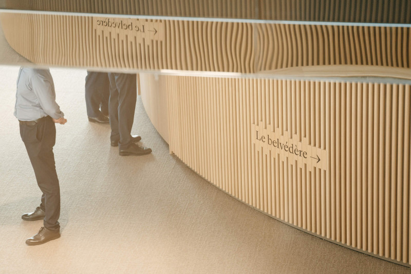
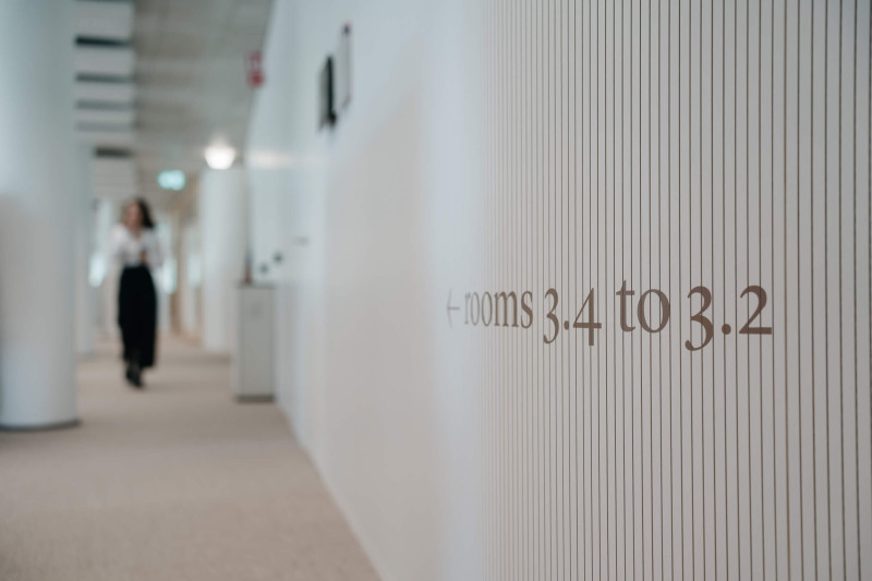
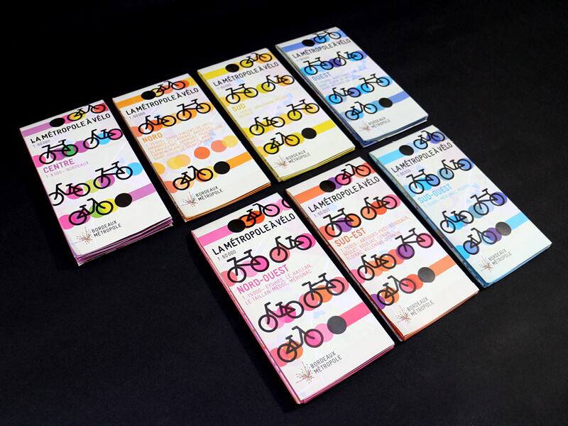
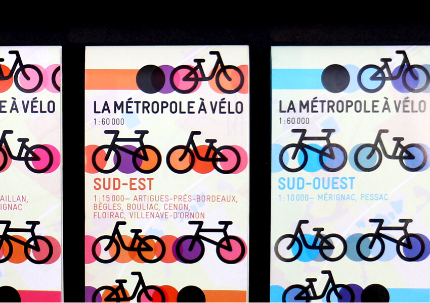
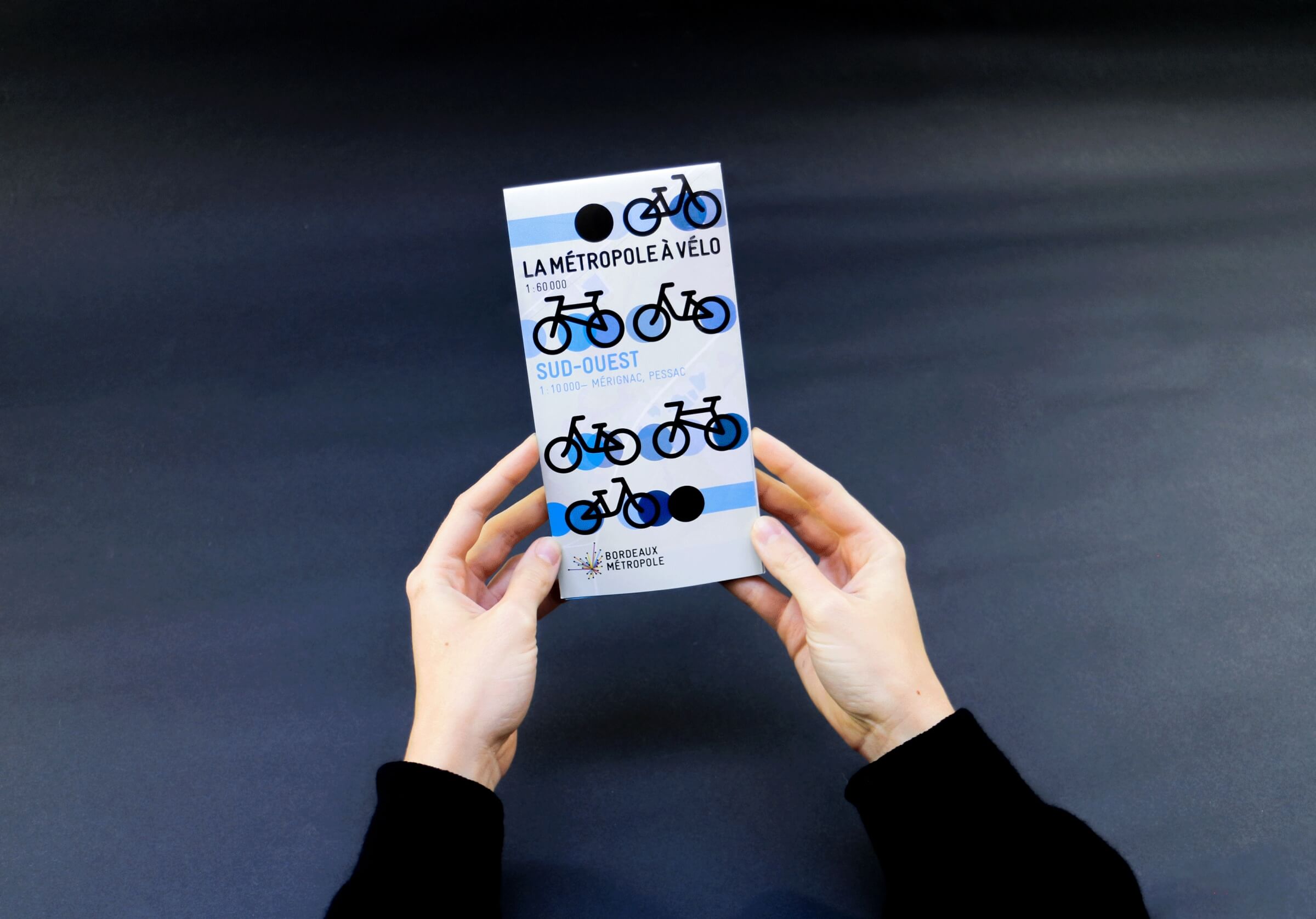
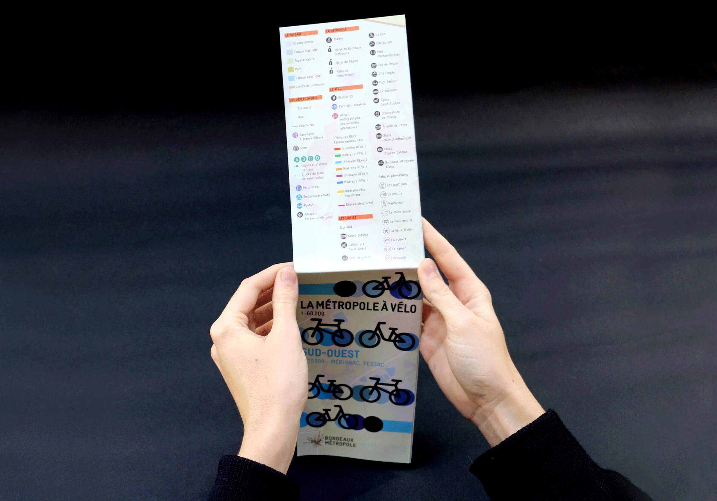
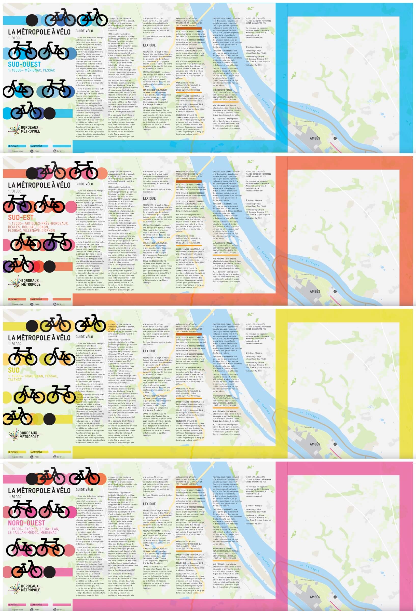
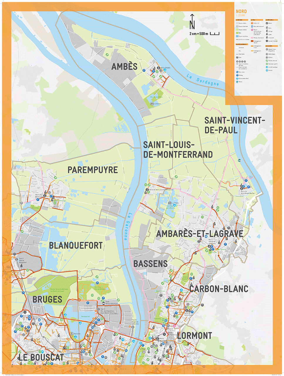
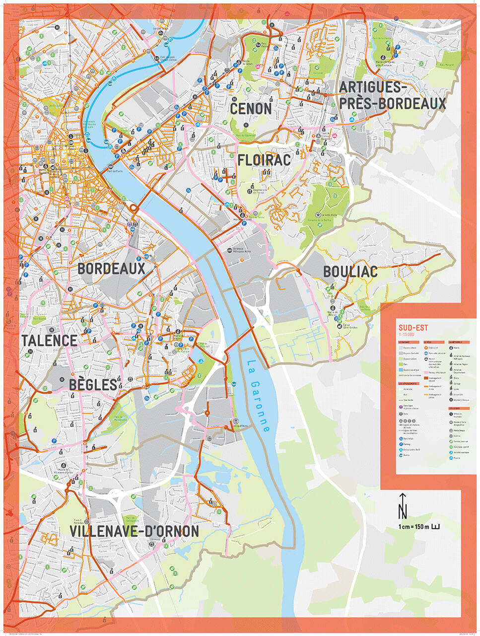
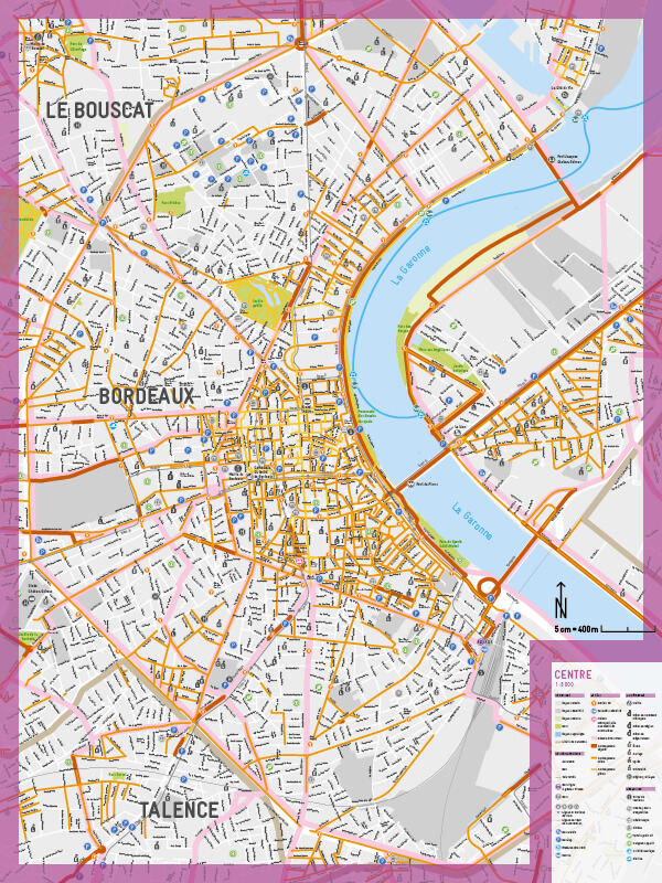
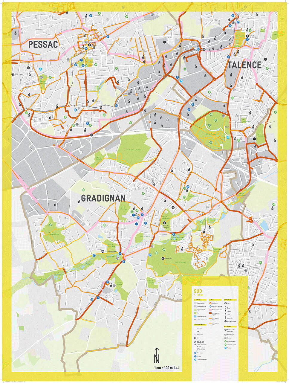
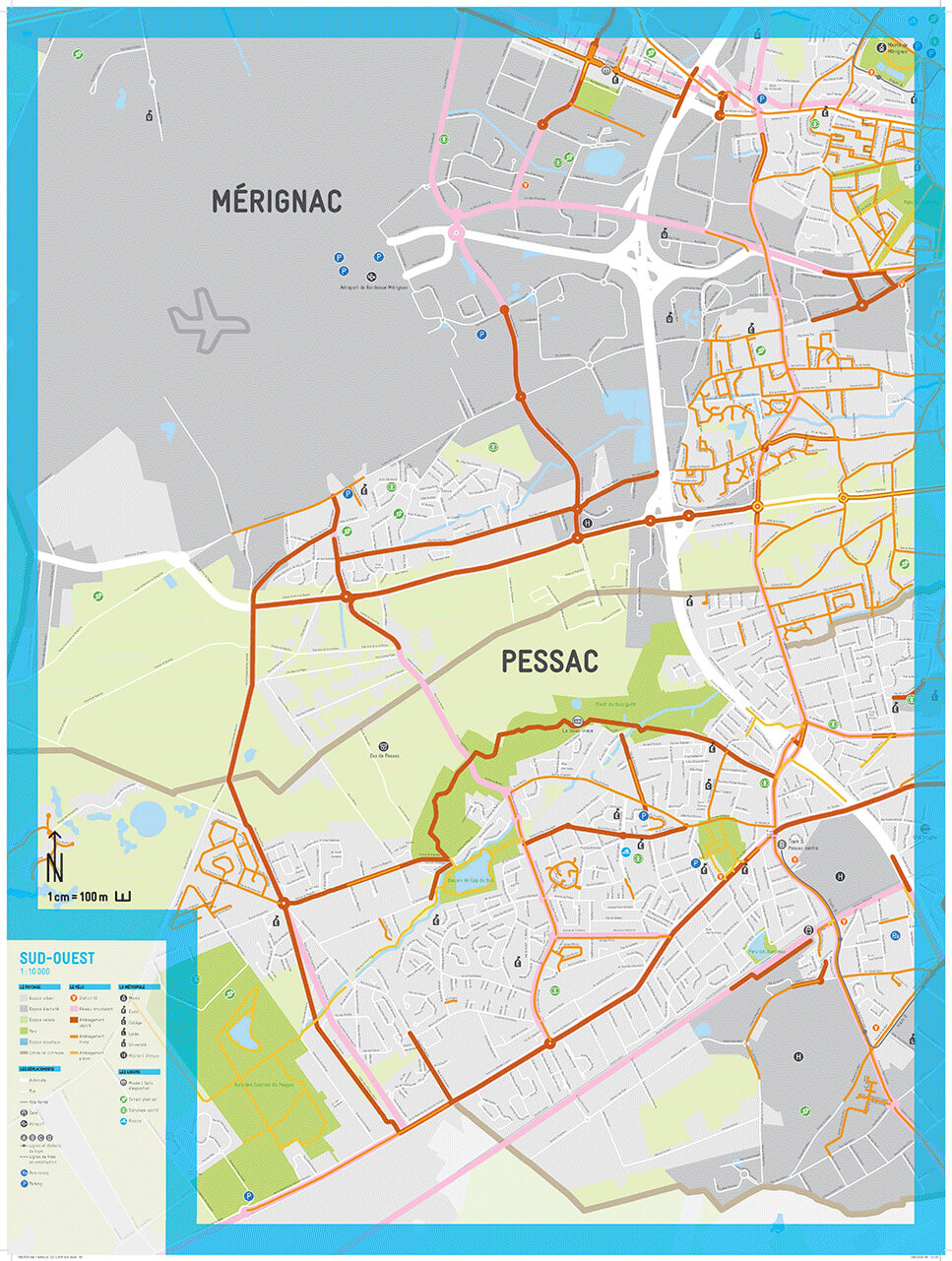
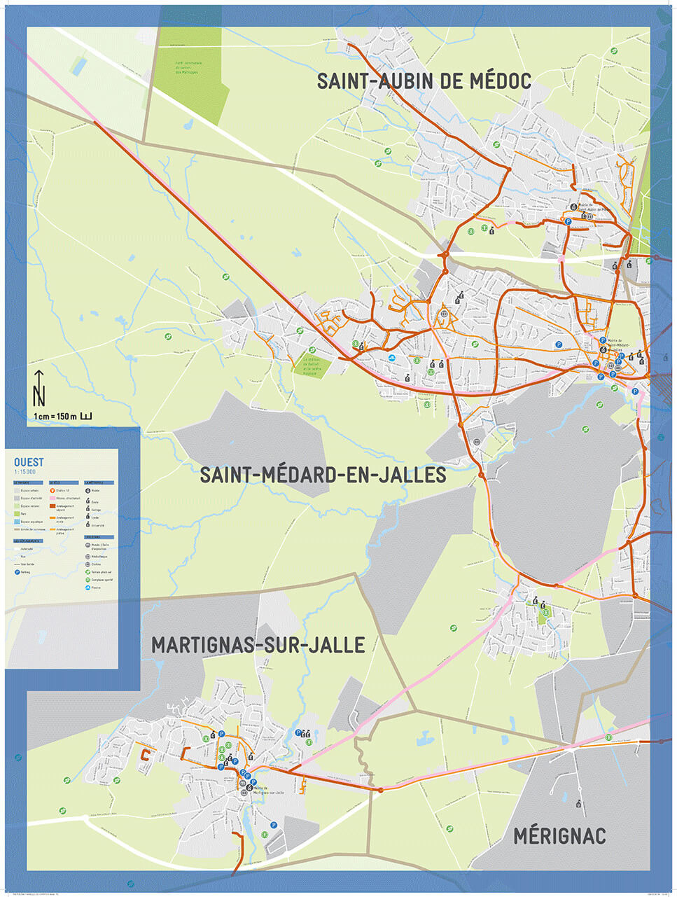
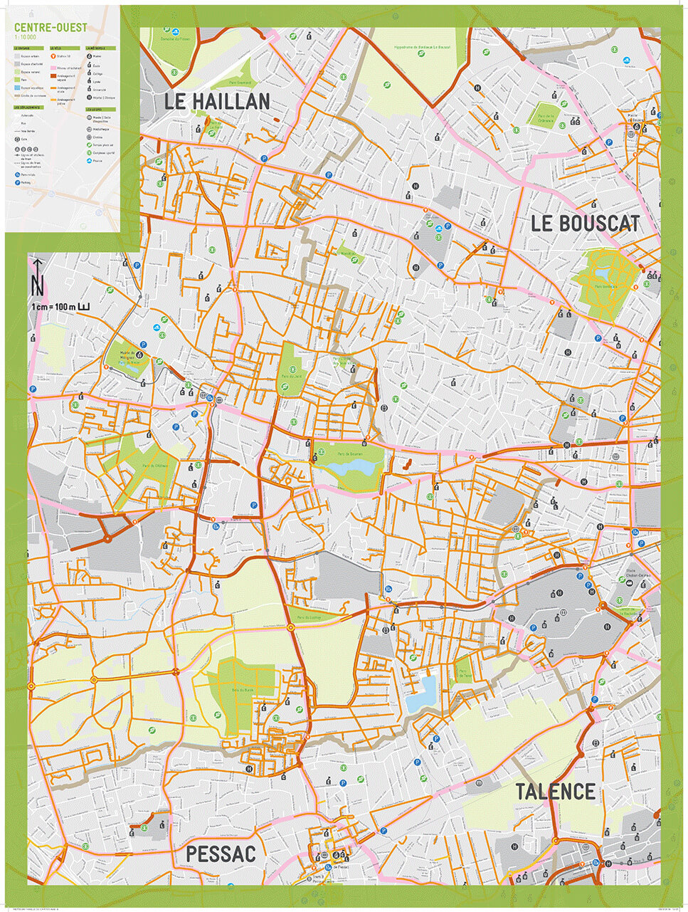
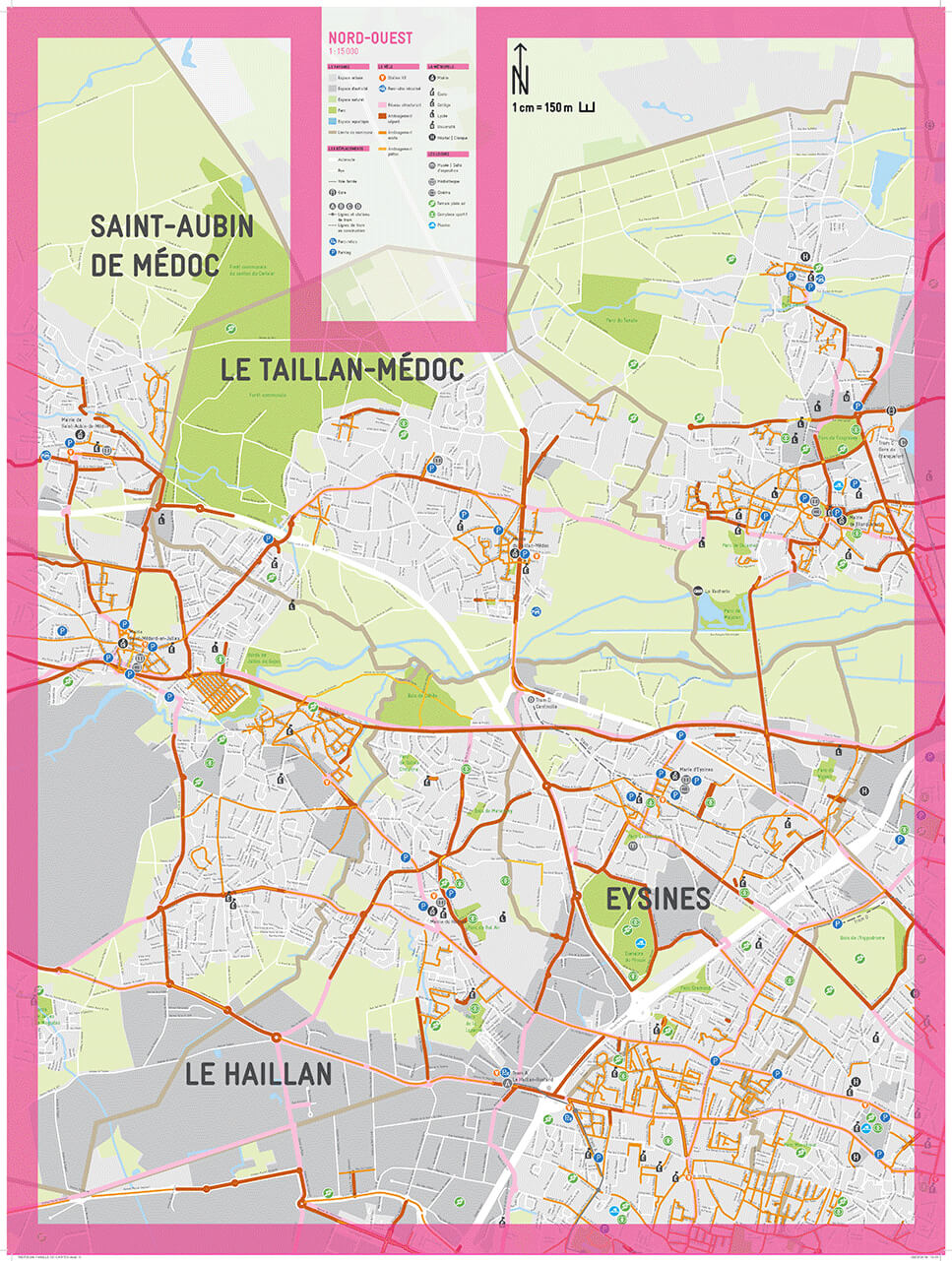
Building on the visual language developed in 2015 for Bordeaux Métropole, the Bordeaux Métropole cycling guide has been redesigned to feature eight new cycling maps, using the graphic tools created as part of the Bordeaux Métropole graphic charter. Typography, colors, and visual language are adapted to the cartographic elements. The eight covers are designed in accordance with the Métropole’s guidelines and are distinguished by a color code specific to each zone. A family of pictograms has been redesigned in the spirit of the Gravur typeface, chosen for the Métropole’s identity. Meticulous work on color, contrast, line thickness, and font sizes for the different scales (1:60,000, 1:25,000, 1:15,000, 1:10,000) was carried out and defined in a brief graphic style guide for the production of future maps.
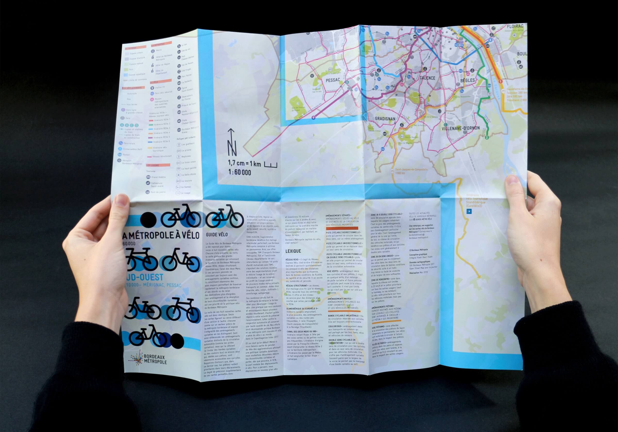
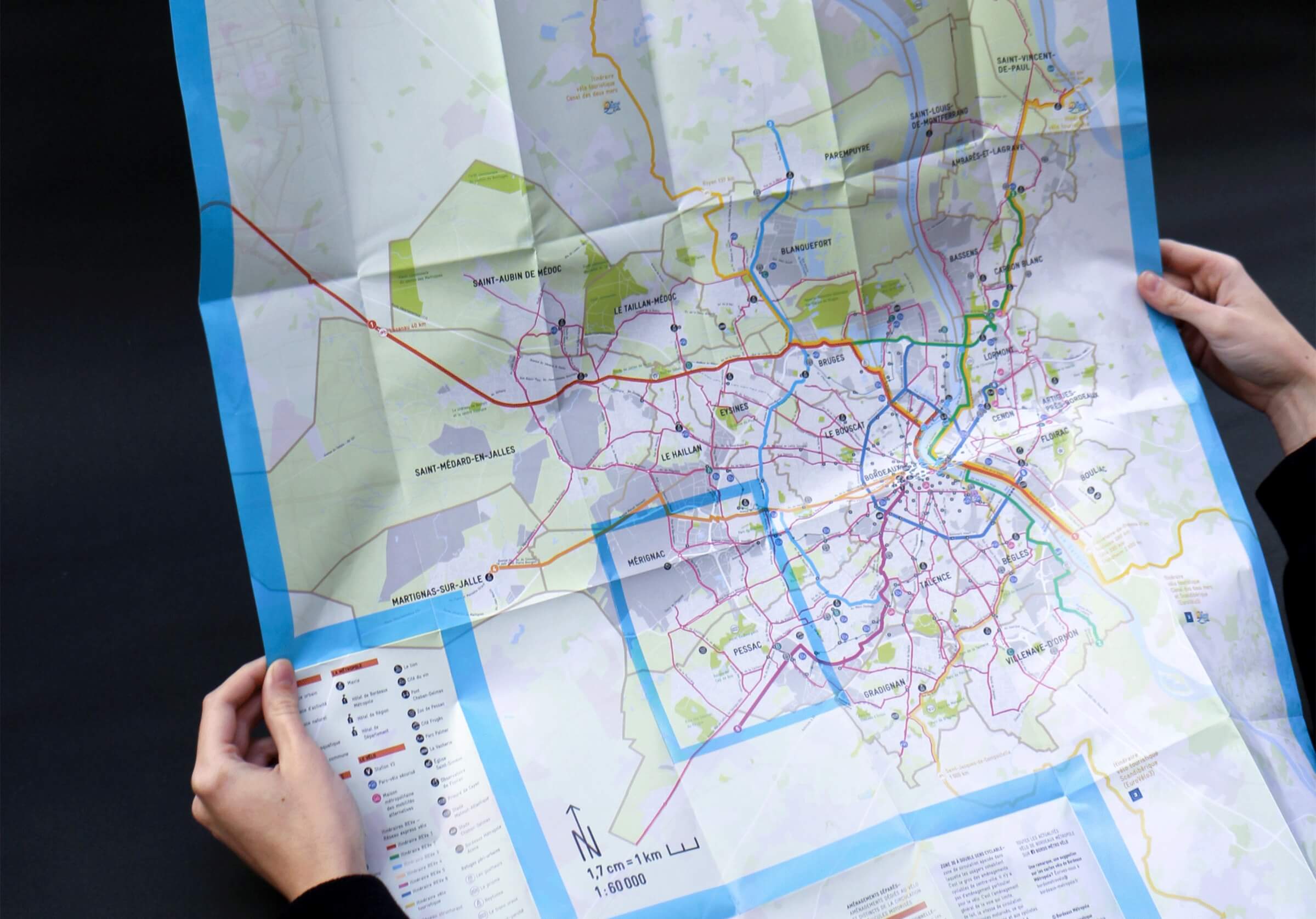
Each document features, on the front, an overview map of the major cycling routes crisscrossing the Bordeaux Métropole region. The front of these eight new cycling maps is therefore identical. Only the maps on the back differ from one version to another: each zooms in on a specific sector of the Bordeaux metropolitan area and displays all cycling infrastructure. The maps distinguish between cycling facilities separate from motor vehicle traffic (such as bike paths), those that run alongside it (such as bike lanes or bus lanes), and those that, while dedicated to pedestrians, are nevertheless accessible to cyclists. The precision of these maps will therefore allow every cyclist—whether regular or occasional, experienced or novice—to plan their own route and meet their goals, whatever they may be: safety, speed, or peace of mind…
Design Team — Ruedi Baur, Chantal Grossen, Robin Coenen, and Benjamin Ribeau